Image
Description
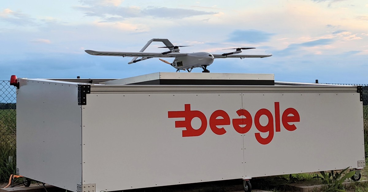
Germany-based drone startup Beagle Systems wants to offer geospatial data users on-demand aerial imagery at resolutions up to 50 times higher than currently available from commercial satellites. And it wants to do that remotely, much more quickly. The company says its Beagle M drone is capable of delivering image data at a resolution of 1cm per pixel at revisit times many times faster than satellites are capable of, regardless of cloud coverage. Built for long-range missions, the Beagle M drone can scan and record 200 hectares per flight on a single 90-minute charge from its charger hangar network.
Information

Recommend