Browse Sites By Day: 24.03.2021
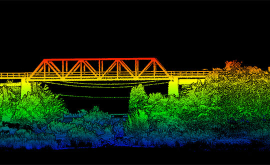
gpsworld.com — Oxford Technical Solutions has released the xNAV650, the latest in its line of inertial navigation systems (INS), suitable for use on drones. INS provide surveyors with absolute position, timing and inertial measurements (heading and pitch/roll) that they can integrate into their survey projects. Th…
24.03.2021 0 comments From JAS-Aerial

sanantonioreport.org — St Marys University students are exploring emergency failsafe parachute deployment as part of their education.
24.03.2021 0 comments From JAS-Aerial

dronedj.com — A few close calls and a few objects managed to scrape the drone's blades or kick sand back up into it. However, the DJI Mavic Mini used in the video ...
24.03.2021 0 comments From JAS-Aerial
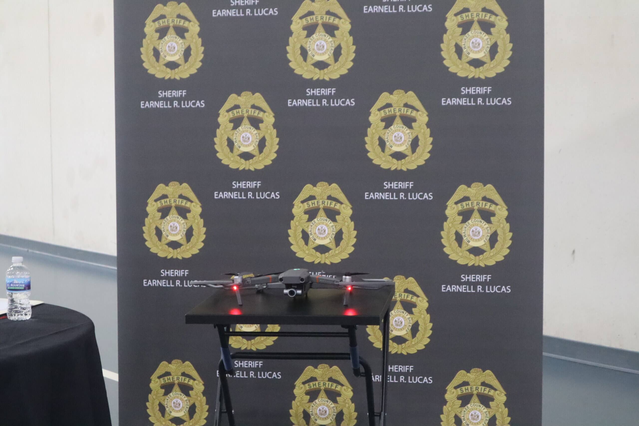
wisconsinexaminer.com — The Milwaukee Sheriff’s office has established a new drone unit. In a media briefing, drones featuring FLIR infrared, speakers and mapping capabilities were pitched for public safety.
24.03.2021 0 comments From JAS-Aerial

facebook.com — Aerial photographer Bjorn Seinbekk captured stunning footage on Sunday, March 21, showing lava flowing from a volcano on the Reykjanes ...
24.03.2021 0 comments From JAS-Aerial
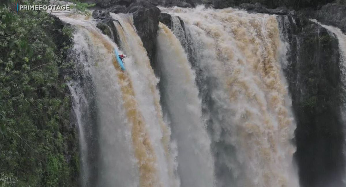
hawaiinewsnow.com — It was all caught on drone video as they went over the edge in the fast-flowing falls and into the pond below in individual kayaks. But officials from both ...
24.03.2021 0 comments From JAS-Aerial
ij.org — Drone entrepreneurs are finding a very old industry standing in the way of drone photography businesses. Land surveying. In North Carolina, the Board of Examiners for Engineers and Surveyors sends warnings to drone operators saying that certain photography amounts to surveying without a license and …
24.03.2021 0 comments From JAS-Aerial

thedrive.com — The drones were described as flying for prolonged periods in low-visibility conditions, and performing brazen maneuvers over the Navy warships near a ...
24.03.2021 0 comments From JAS-Aerial